
National Hurricane Center Introduces Polygon-Based Marine Warnings
The Tropical Analysis and Forecast Branch (TAFB) of the National Hurricane Center (NHC) continues to work toward improving services for the “blue water” mariner well away from land. Toward that goal, TAFB is introducing a new experimental “polygon-based” (shapes) marine warnings via a Marine Graphical Composite Forecast map. The new service will help keep mariners safe in hurricane-prone areas.
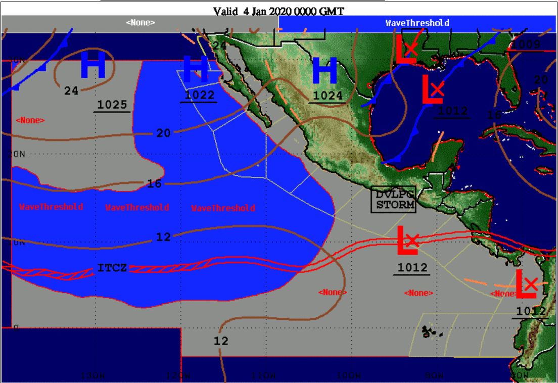
Thanks to increased access to higher speed data connections, ships are evolving away from the traditional methods of obtaining forecasts through text products and marine fax graphics. They can now access critical marine information through TAFB’s Marine Graphical Composite Forecast maps:
https://www.nhc.noaa.gov/marine/forecast/enhanced_atlcfull.php
https://www.nhc.noaa.gov/marine/forecast/enhanced_epacfull.php
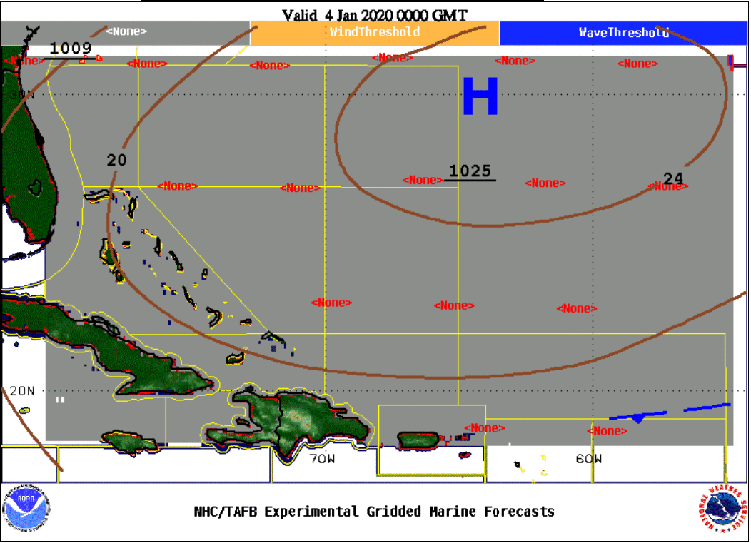
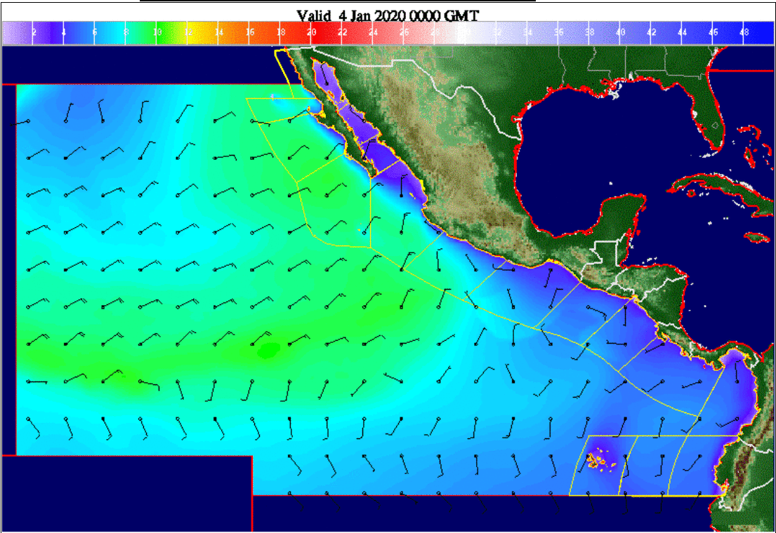
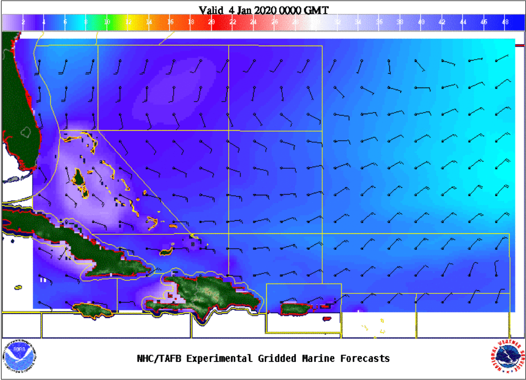
These maps enable marine customers to access compressed gridded marine forecasts of 10-meter winds, significant wave heights, and hazardous areas meeting warning criteria for five pre-set domains over the tropical North Atlantic, Caribbean, Gulf of Mexico, and tropical eastern North Pacific at 12- hour forecast projections out to five days.
Additionally, users have the option of overlaying forecaster-drawn surface features for the first three days of the predictions. The new aspect is in providing “polygon-based” (shapes) marine warnings via this Marine Graphical Composite Forecast map.
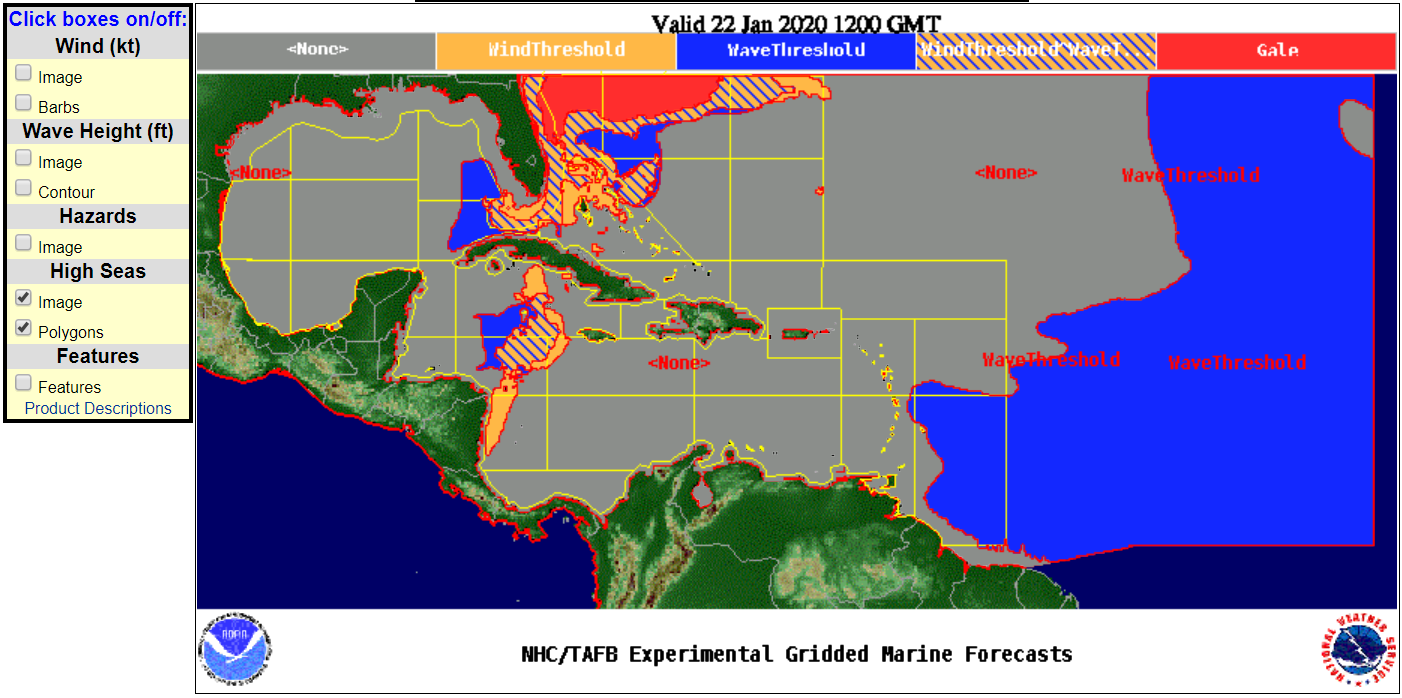
Here’s an example (above): The red area east of Florida indicates gale-force winds (34 knots or higher), the threshold for marine warnings. The other colors show lesser areas of concern. The hatched blue/orange represents winds of 23–33 knots and seas at least 8 feet; the blue represents seas of at least 8 feet; and the orange represents winds of 23-33 knots. These experimental warning polygons are the first of their kind for the National Weather Service’s (NWS’s) marine program.
NWS and the National Ocean Service’s Office of Coast Survey are working together on the Precision Navigation effort to define the international standards to portray weather information such as warning polygons for winds of gale, storm, and hurricane force. The standards for graphical and gridded formats for display in electronic charting systems are also being defined under the Precision Navigation effort.
NWS is working with the NOAA’s Global Systems Division to develop a next generation of Hazard Services to produce and disseminate marine forecasts including warning polygons. The Hazards Services effort will result in future updates for providing warning polygons for the mariner, to include additional NWS centers in a standard way. By harnessing technological advancements with improved forecasting products, we are better assisting mariners in their ship routing decisions to stay safe and protect their cargo.
The products and services herein described in this press release are not endorsed by The Maritime Executive.
