
Advanced Analytics Go Beyond Weather Forecasting
Artificial intelligence and deep learning, or machine learning, are an increasing part of the advanced analytics StormGeo offers to shipping through its meteorological services.
Advanced analytics are sophisticated methods to discover deeper insights, make predictions or generate recommendations by examining vast amounts of data. “With advanced analytics, you can uncover new opportunities in all types of data from a variety of sources,” says StormGeo’s CEO Kent Zehetner. “For example, using advanced analytics, StormGeo can reduce a vessel’s fuel consumption and predict a helideck’s heave or pitch and roll movements on an oil rig.”
Raw data in its unprocessed state does not offer much value, says Zehetner. When the data volume gets very complex, unorganized and comes from many different sources it is impossible for humans to comprehend and understand relationships, while machines will be able to process and put the data into context. The technical term for using machine learning in this way is called "deep learning."
“It is with the right analytic techniques that StormGeo offers rich insights to aid in providing true businesses value,” says Zehetner.
“To classify the dataset, we depend on our experts to transfer their knowledge about the datasets. It is important that our team of data scientists "train" the algorithms so we can apply that learning to the entire dataset,” he says. “The computer is then able to recognize complex patterns and train the algorithms so they support the decision process – and, in some cases, automate it.
“But even when you have the best automated solutions, the human decision maker will still want to consult with experts when challenging situations are present. That will remain the situation for considerable time.”
For shipping, StormGeo has developed algorithms for efficient and safe weather routing of ships, which reduced overall fuel consumption by approximately 600,000 tons per year. This is approximately 1.9 million tons of CO2 per year, which is equivalent to a CO2 consumption of 430,000 cars. StormGeo routes approximately 6,000 ships per month and has onboard systems installed on more than 5500 vessels.
CPO Containerschiffreederei Digs Deeper
StormGeo customer CPO Containerschiffreederei needed to improve its access to real-time weather data, and soon realized that having weather forecasts available anywhere in the world was not enough. The company needed a tool that would also turn accurate weather information into actionable route options for its 64-ship fleet.
“We had a need to dig deeper,” said Captain Ortwin Mühr, Head of Nautical Department. “Due to the pressure on the charter market, we needed the ability to conduct a more in-depth search for the optimum track. We needed a tool that would allow us to quickly apply that weather data for real-time weather routing.”
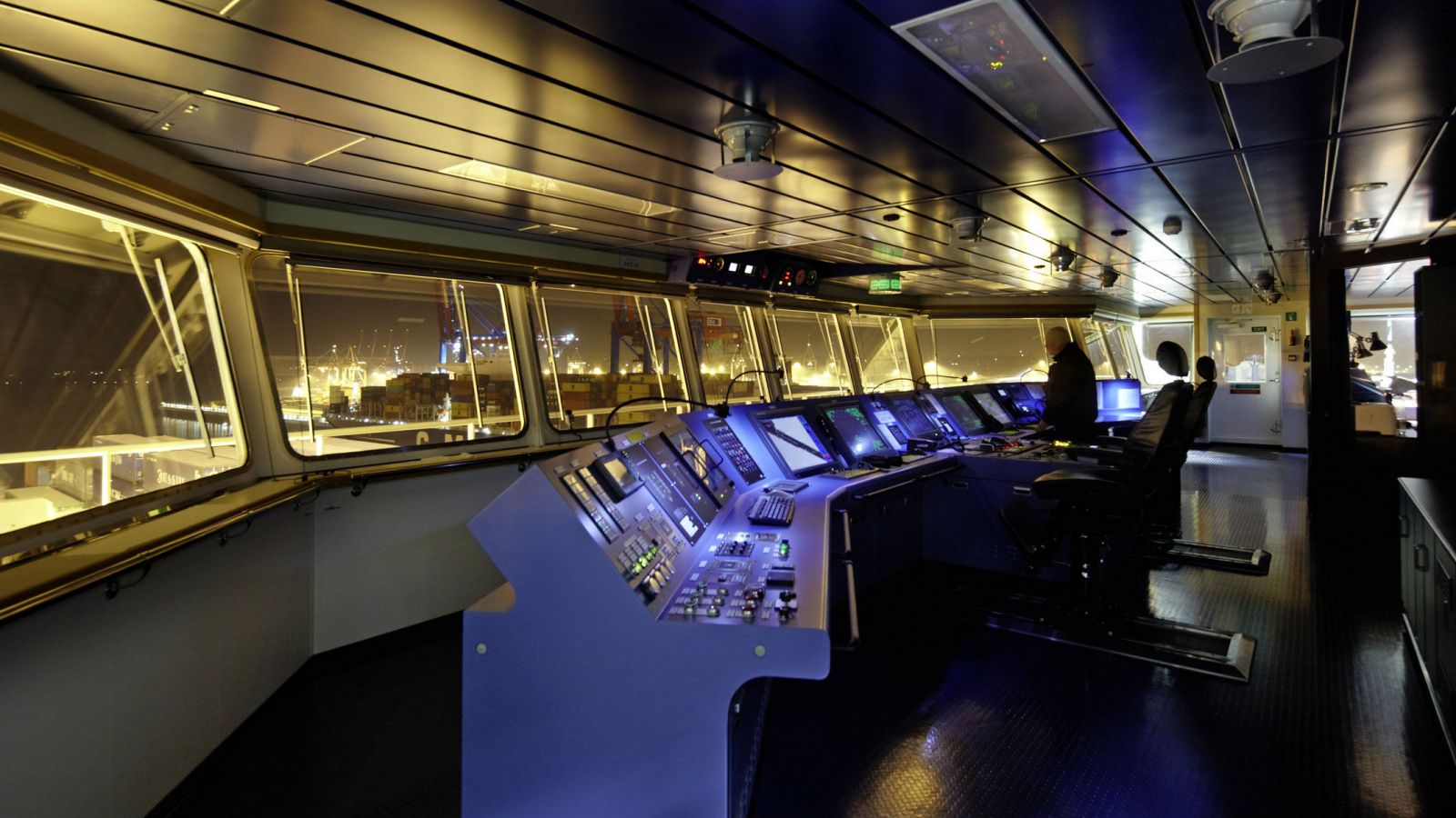
StormGeo’s Bon Voyage System (BVS) provides the most recent weather and ocean data, as well as generating easily interpretable maps to give each ship’s crew the visual information to plan for problem areas and optimize their routes.
“One of the key factors when we evaluated tools was having a graphical interface that people could easily understand,” said Mühr. “With BVS, a navigator could – mostly even without reading the manual – quickly understand the data. It’s simple and self-explanatory.”
For CPO Containerschiffreederei, having a partner that understood what could be expected from a ship in a full range of possible conditions was a critical issue. Mühr says: “StormGeo uses advanced analytics and has a pool of experience in regards to ship routing, they are able to provide a reliable outlook for the individual constraints and their related impact, which a vessel will face during her ocean passage. This combined with a tool to avoid parametric rolling or any sort of resonance condition which could be encountered by sea and swell, was our major concern.”
Since implementing BVS, CPO Containerschiffreederei demands for data and functionality have steadily increased, but the software has improved step by step along with them.
“The high-resolution wind and wave condition simulations of the tool have been particularly helpful to me in situations where we needed to prove to a charterer why a ship would not be able to sail a certain course, and that the inability to do that had nothing to do with seaworthiness,” said Mühr. “The only opportunity to prove that was through StormGeo’s software. BVS is one of the few products that provides such a function.”
Among the benefits CPO Containerschiffreederei has seen from its use of BVS are fewer weather-related accidents and reduced damage to the vessels. “We have higher satisfaction among our charterers because they see our vessels running on an optimum track, saving fuel and staying on schedule,” said Mühr.
The opinions expressed herein are the author's and not necessarily those of The Maritime Executive.